Nordic Glaciers
IVAR Studios
In partnership with Stockholm University
In development- Format
- Fulldome documentary, 8K dome master
- Running time
- 25–30 minutes
- Audience
- Ages 12+, schools and families
- Languages
- English and Swedish
- Filmed in
- Tarfala valley, Sápmi (Swedish Lapland)
- Science partner
- Stockholm University
- Stage
- Development, filming under way
- Premiere
- 2028
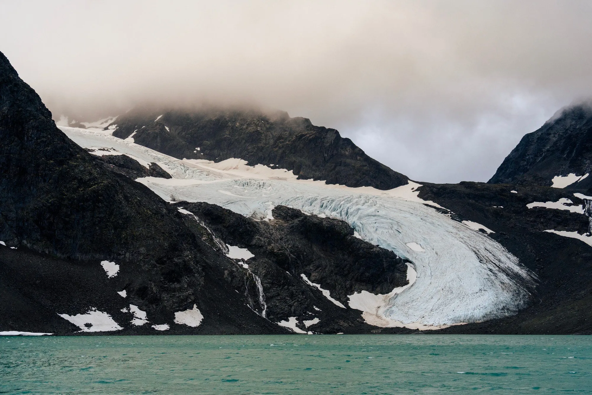
What does it feel like to watch giants of ice melt away over a lifetime - or three? A grandfather, a father and a son from one Swedish family have recorded the same glaciers since 1946. Today the scientists at Tarfala Research Station continue to spearhead this important work, extending the world's longest unbroken record of how a glacier grows and melts - Storglaciären by Kebnekaise.
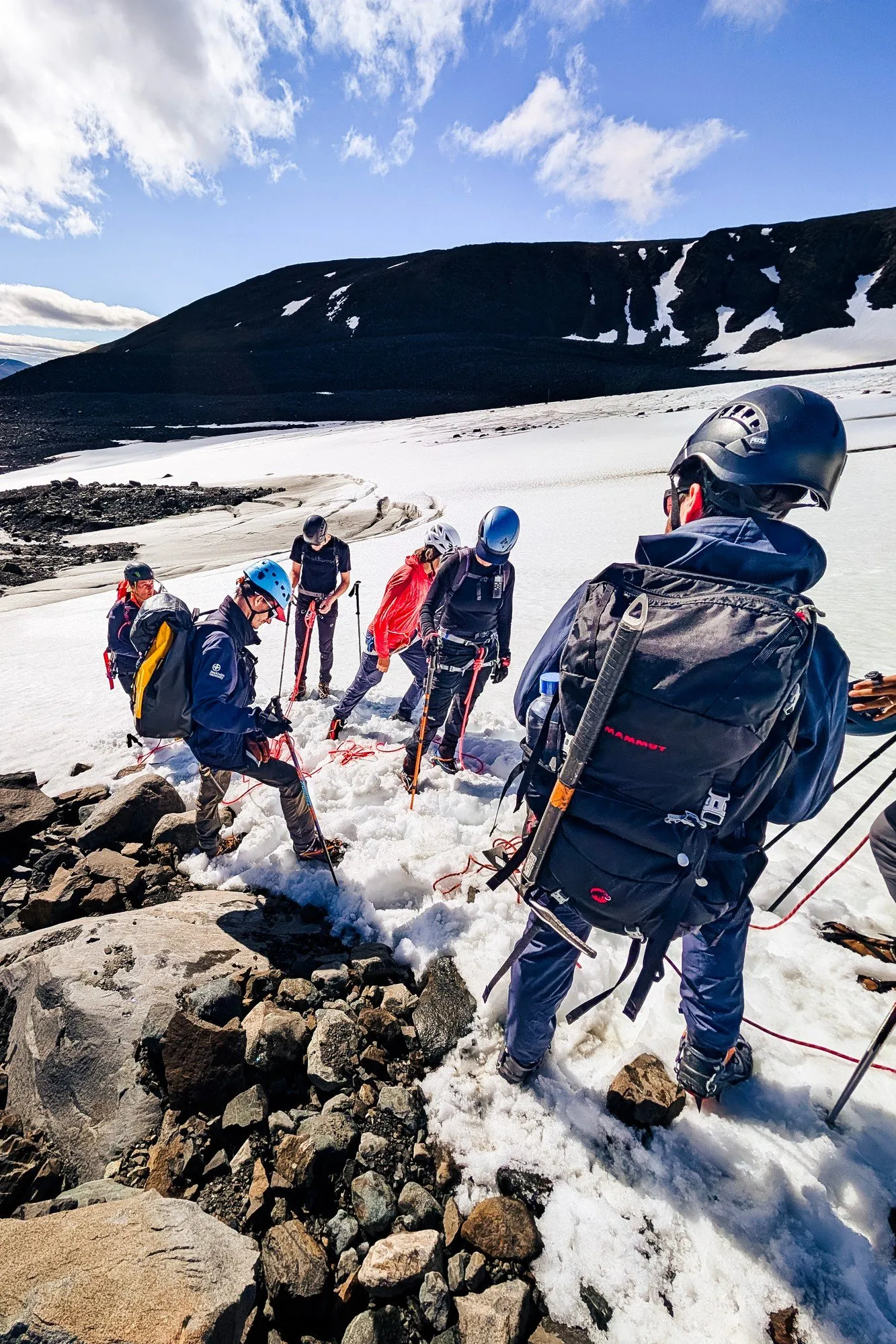
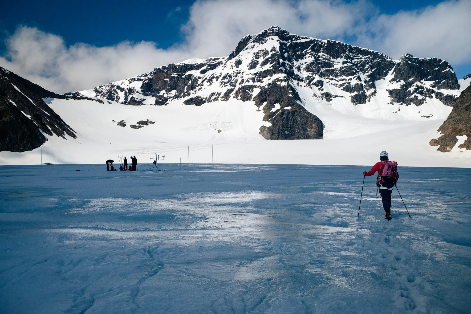
In 1946, Valter Schytt began measuring Storglaciären, in the Tarfala valley below Kebnekaise. He started scientific rituals that his son-in-law and grandson continue, and established methods still used today. Nordic Glaciers is a fulldome documentary that takes the audience out into the wind and onto the ice. They rope up with the glaciologists, cross Storglaciären between blue crevasses and dig down through the winter snow - and we travel back more than 100 years in time through the historical photographs of these glaciers. Here, climate change is not a graph. It is the ice under your feet. We make the film in partnership with Stockholm University. We have filmed in the valley for three seasons and plan the premiere for 2028.
Development is partly financed. We now need a co-producer and financing for the 2027 shoots and post-production, and dome partners for the 2028 release. Treatment and production plan on request.
Contact producer Fredrik Edström →
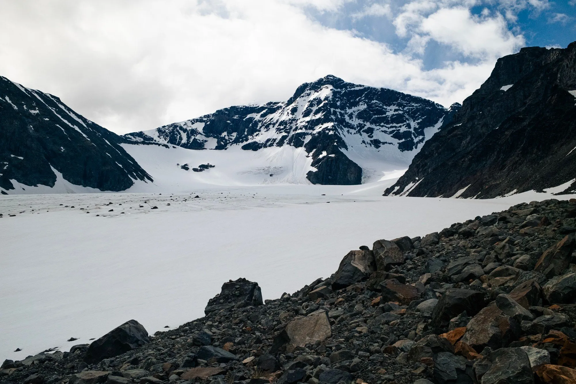
Storglaciären has the world's longest continuous mass-balance record. Each year since 1946, glaciologists have measured how much snow it gets in winter and how much ice it loses in summer. Nordic Glaciers puts the dome audience on that ice.
The film

Animated 3D sequences
With Stockholm University

Three seasons in Tarfala
A fulldome camera sees the full sky at once. There is no place to hide a tripod, a footprint or a crew, so we plan each shot on location. We have worked in the valley for three seasons, and each season builds on the last.
-
2024
Mapping from the air
We flew over the Kebnekaise massif and mapped the valleys and glaciers from the air. The images became our first 3D model of the landscape. We also shaped the story of the film together with the glaciologists.

Martin Edström on the photogrammetry flight over Swedish Lapland, June 2024. 
Rivers fed by snowmelt and glacier meltwater from the Kebnekaise massif, near Nikkaluokta. 
Fredrik Edström photographing the landscape for the 3D model. -
2025
At the stone and on the ice
We spent our first season filming on the ice. We worked among the crevasses of Storglaciären, followed the yearly photograph from E-stenen and filmed the scientists at work in the valley.

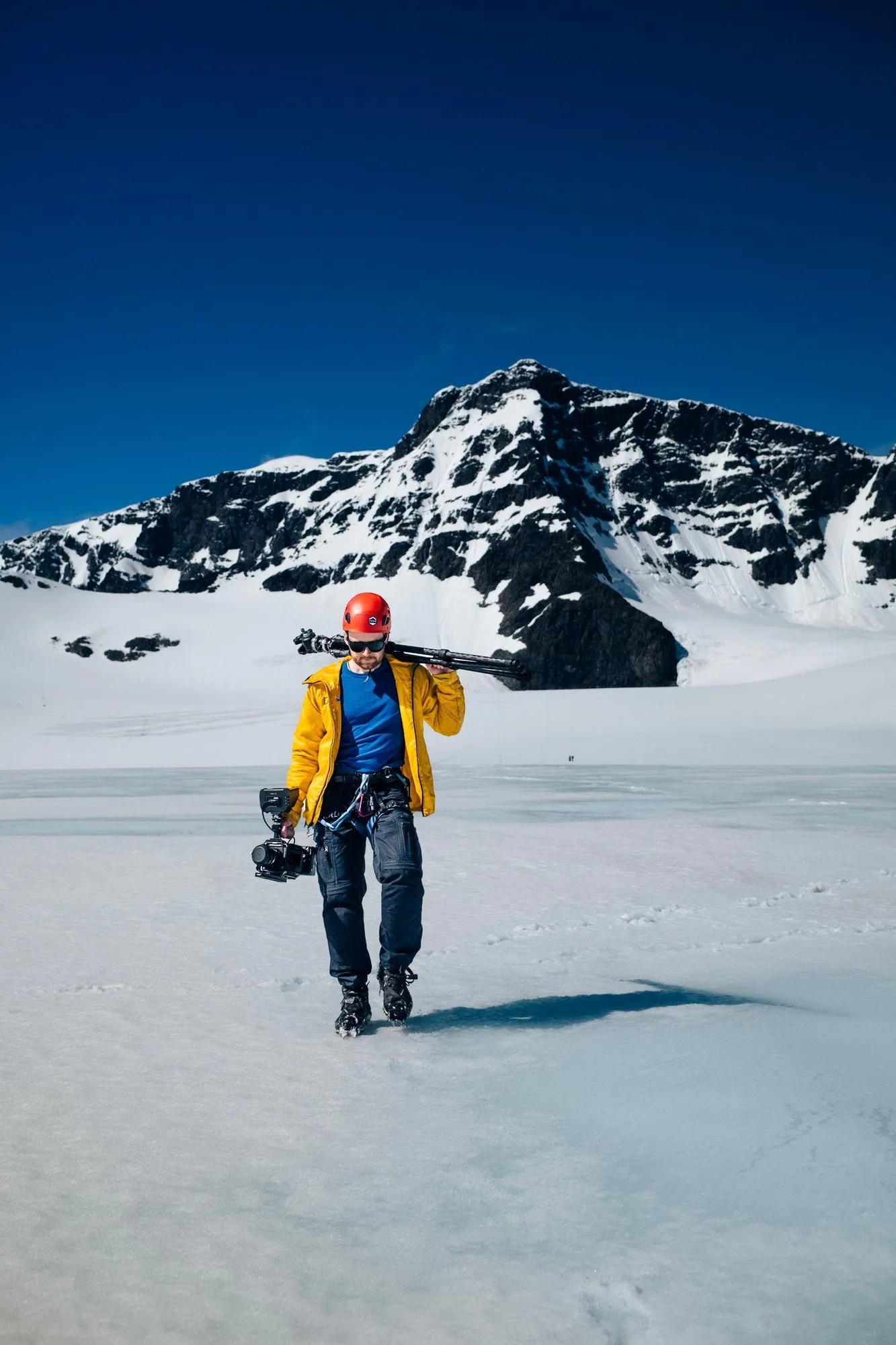
Martin Edström and cinematographer Oliver Akermo filming among the crevasses of Storglaciären, August 2025. 
Fredrik Edström on the moraine on the way to the ice. 
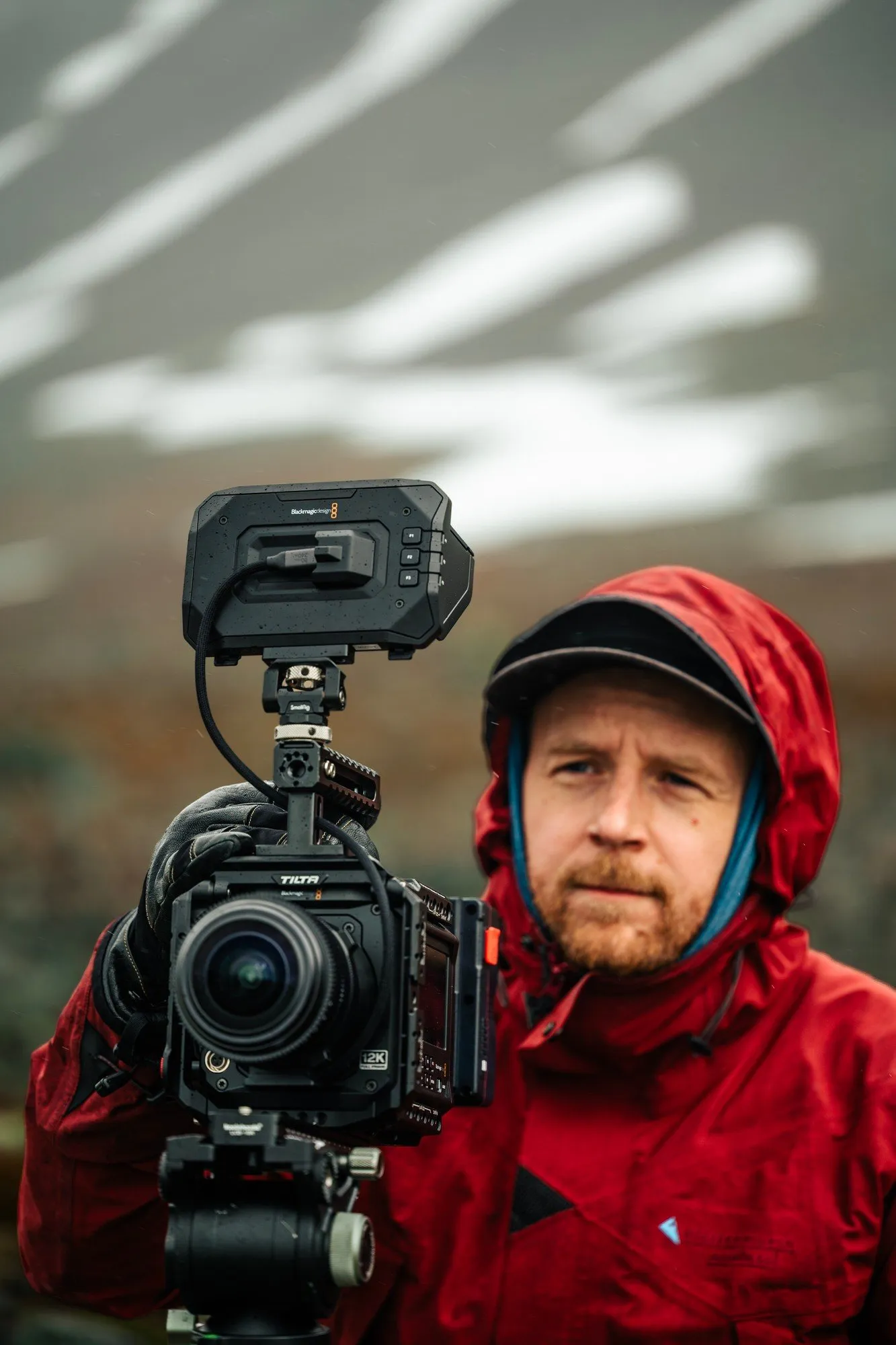
Martin Edström packing camera gear before the climb onto the glacier. 
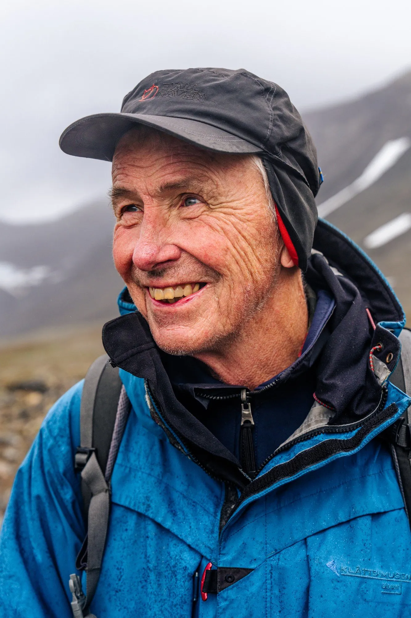
Per Holmlund on E-stenen. 
Erik Schytt Mannerfelt flying his survey drone over the valley. -
2026
On Storglaciären with the station team
We came back with a camera made for the dome and spent time on the glacier with the team from Tarfala Research Station. We filmed the main shots of the film, conducted interviews and collected new 3D data of the landscape.

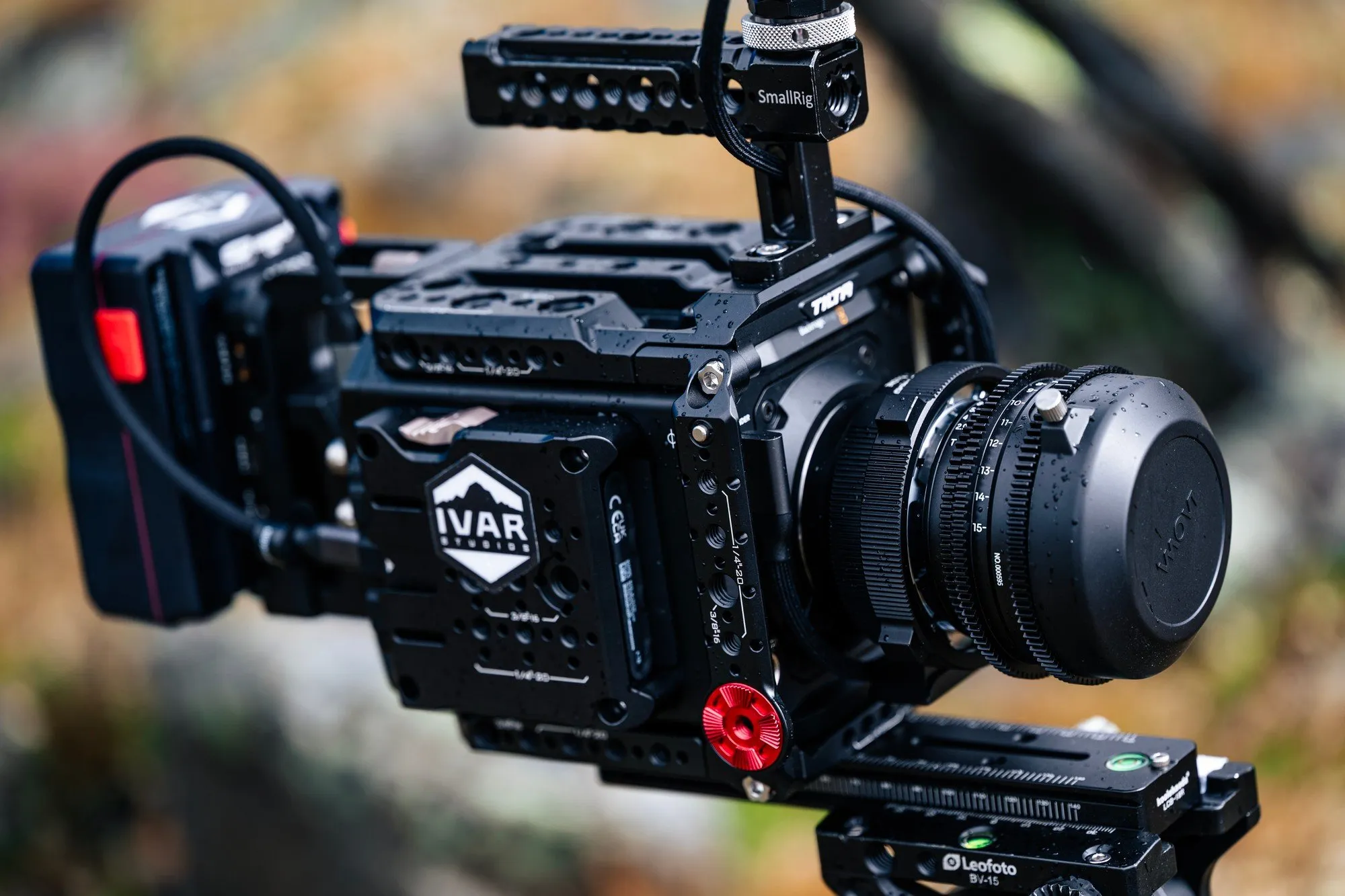
Setting up the fulldome camera by the pond below the station, July 2026. 
Martin Edström flying a drone at Storglaciären, July 2026. 
A survey drone over the crevasses. The 2026 scan uses more than 12,000 drone photos. 
Setting a GPS control point on E-stenen. 
Filming a meltwater stream in the valley. 
The fulldome camera set up in a meltwater stream. 
Roped up for the glacier. 
On Storglaciären with Tarfala Research Station Director Nina Kirchner.
Made for the dome

The team
IVAR Studios is an immersive production studio in Stockholm. The brothers Martin and Fredrik Edström founded it.
 Martin, the director, is a National Geographic Explorer and photographer with more than 15 years of immersive work. He is a Fellow of The Explorers Club and has worked in more than 60 countries, from Mount Everest to the world's largest cave in Vietnam.
 Fredrik, the producer, has made immersive productions for National Geographic, for example Expedition Everest VR and Plastic on the Ganges. He has also worked with museums and EU-funded research programmes.
We also work in domes. With KTH Royal Institute of Technology, we built Dome Conductor for the fulldome theatre at Tekniska museet in Stockholm. In this live installation, visitors conduct the Swedish Radio Symphony Orchestra.
Why it matters
Sweden's glaciers are shrinking. A 2025 inventory (Houssais et al.) found that eight Swedish glaciers have melted away completely. The ice cap on Kebnekaise's south summit has become so thin that the north summit is now Sweden's highest point.
Nordic Glaciers shows this change with evidence that the audience can see. They see how glaciologists measure a glacier with stakes and snow pits. They see photographs from the same point, back to 1910, that show the ice retreat.
We have letters of intent for distribution in Sweden, Canada and beyond.

"Every year since 1946, someone has walked out into this valley to measure the ice. Valter Schytt started it, and his family and the station's scientists continue it. I want the audience out there with them, to feel eighty years pass in the time it takes to read a stake."
Credits
- Martin Edström - Director
- Fredrik Edström - Producer
- Oliver Akermo - Cinematographer
- Nina Kirchner - In the film. Professor of glaciology, Director of Tarfala Research Station
- Per Holmlund - In the film. Professor emeritus of glaciology, Stockholm University
- Erik Schytt Mannerfelt - In the film. Glaciologist
- Stockholm University, Tarfala Research Station - Science partner
- Terrain data in the renders - © Lantmäteriet; © Kartverket; produced using Copernicus WorldDEM-30 © DLR e.V. 2010–2014 and © Airbus Defence and Space GmbH 2014–2018 provided under COPERNICUS by the European Union and ESA; all rights reserved